Our Vision
To become the leading reference in land surveying and mapping services in Romania, setting new standards of precision and quality in the industry.
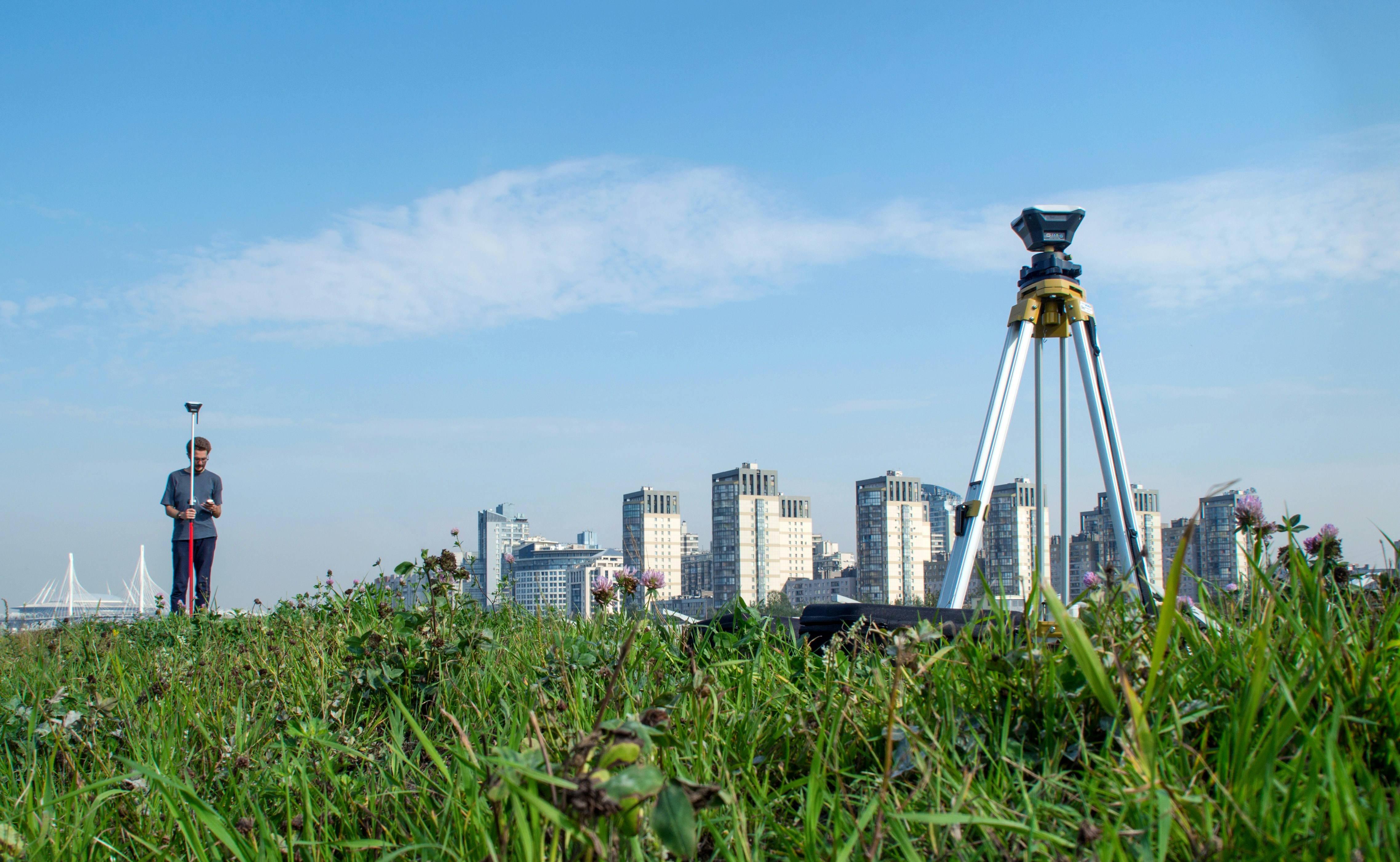
Setting boundaries, surpassing expectations
Concret CAD was founded on 14 March 2011. The office is in Dumbrăvița, Timiș County, and services cover all of Romania.
Concret CAD provides land surveying, geodesy, cartography, GIS, and cadastre throughout Romania. The company was founded in 2011 and is authorized by the National Agency for Cadastre and Real Estate Advertising (ANCPI), category III. With a team of professionals with extensive experience, we are dedicated to providing high-precision solutions for projects of any size.
To become the leading reference in land surveying and mapping services in Romania, setting new standards of precision and quality in the industry.
To provide our clients with the highest quality surveying and mapping services, combining cutting-edge technologies with our expertise to achieve precise and reliable results.
Concret CAD was founded on 14 March 2011. The office is in Dumbrăvița, Timiș County, and services cover all of Romania.
Founded in 2011, Concret CAD has grown steadily, developing from a small team of surveyors into a reference company in land measurements and mapping in Romania. Constant investments in technology and continuous staff training have allowed us to remain at the forefront of innovative solutions in the field.
Our Dedicated Specialists
Sorin - Alin CONSTANTIN
With over 15 years of experience in the field of surveying and geodesy, Sorin leads the Concret CAD team with vision and a passion for excellence.
Amelia CONSTANTIN
A technology expert, Amelia ensures efficiency and maximizes productivity in all projects.